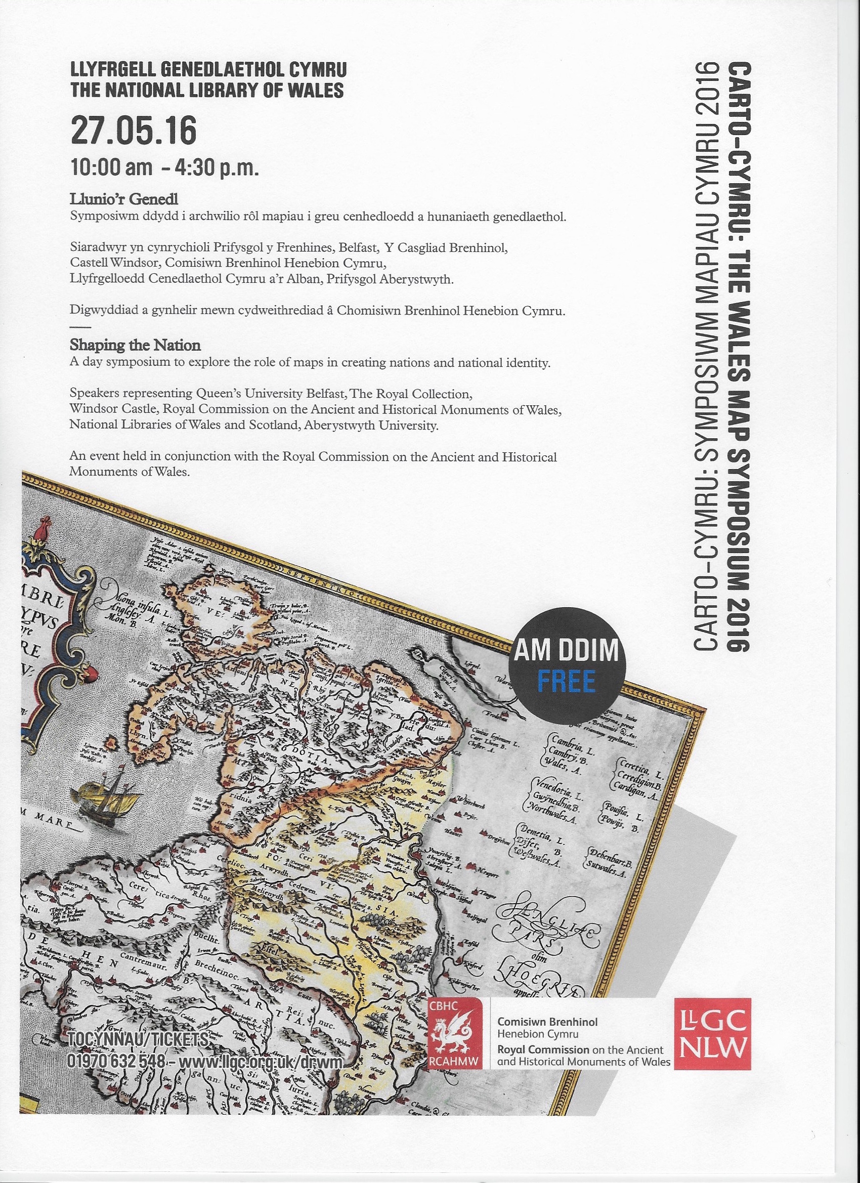
Carto-Cymru
The Wales Map Symposium 2016
“Shaping the Nation”
27th May 2016
10.00am – 4.30pm
An event hosted by the National Library of Wales in association with the
Royal Commission on the Ancient and Historical Monuments of Wales.
Theme:
Shaping the Nation – the role of maps in both depicting and creating the nation both as an entity on the ground and also as a perception in the minds of people.
Presentations:
Mapping the Marches: Marginal Places and Spaces of Cartographic Innovation
Keith Lilley, Professor of Historical Geography, Queen’s University Belfast
Shapes of Scotland: Maps, history and national identity
Chris Fleet, Map Curator, National Library of Scotland
The Military Map Collection of George III: a cartographic record of European wars, empires won and empires lost
Yolande Hodson, Map historian; cataloguer of King George III’s Military Maps in the Royal Collection at Windsor Castle
Ail-ddychmygu daearyddiaethau’r iaith Gymraeg/Re-imagining geographies of Welshness
Rhys Jones, Head of Geography & Earth Sciences, Aberystwyth University
Humphrey Llwyd and the map of Wales
Huw Thomas, Map Curator, National Library of Wales
Maps and mapping at the Royal Commission; putting the past in its place
Tom Pert, On-line Development Manager, Royal Commission on the Ancient and Historical Monuments of Wales
Tickets available for free, morning and afternoon refreshments provided.
For tickets phone: 01970 632 548 or visit: www.llgc.org.uk/drwm